搜索结果: 1-13 共查到“理学 land cover change”相关记录13条 . 查询时间(0.116 秒)

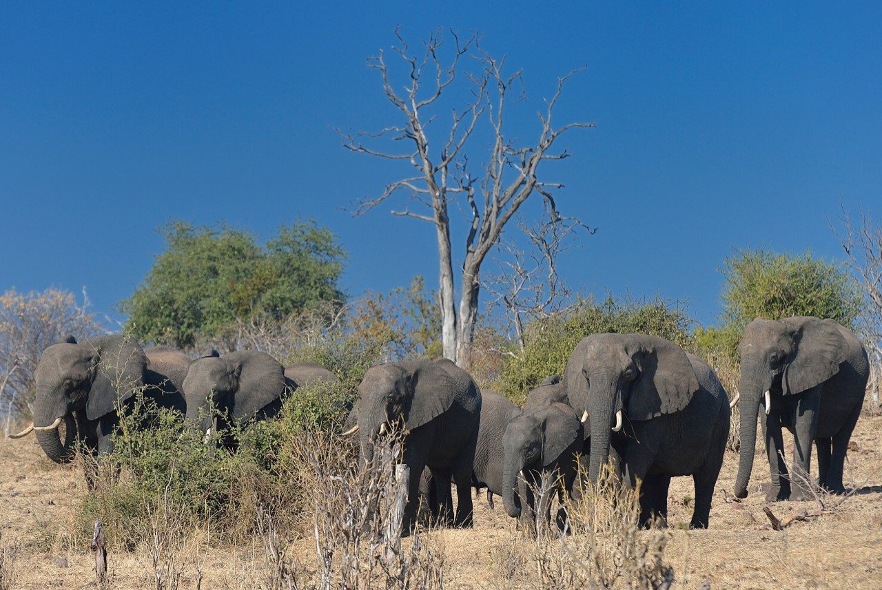
Virginia Tech researchers explore causes of land cover change in African savannas(图)
Virginia Tech researchers land cover change African savannas
2017/11/23
A new study by Virginia Tech researchers tracks land cover changes in the Chobe district of Northern Botswana and provides information that will allow governments and nonprofit organizations to improv...

Land cover change in Botswana savannas:Don't blame the elephants(图)
Land cover change Botswana savannas Don't blame the elephants
2017/11/23
Why are drylands changing in the Chobe district of Northern Botswana? A new study tracks differences in the savanna there across 30 years, and provides information that will allow governments and non-...
Analysis of land cover change and its driving forces in a desert oasis landscape of Xinjiang, northwest China
Drought warming land cover extreme drought desert oasis the landsat images traditional vegetation
2015/1/6
The combined effects of drought, warming and the changes in land cover have caused severe land degradation for several decades in the extremely arid desert oases of southern Xinjiang, northwest China....
Land Use and Land Cover change detection of Indra river watershed through Remote Sensing using Multi-Temporal satellite data
Land use Land cover Change analysis remote sensing change detection
2014/11/26
Land use and land cover is an important component in understanding the interactions of the
human activities with the environment and thus it is necessary to be able to simulate changes.
Empirical ...
Detection of land use and land cover change with Remote Sensing and GIS: A case study of Punjab Siwaliks
Land use land cover change Remote sensing
2014/11/17
The term land use relates to the human activities or economic functions associated with a
specific piece of land while land cover is the physical material at the surface of the earth. Land
cover i...
Land use/land cover change detection: a case study of Usilampatti Block, Madurai District, Tamil Nadu
Land use/land cover change detection Usilampatti Block
2014/11/11
Land use/land cover change detection: a case study of Usilampatti Block, Madurai District, Tamil Nadu。
MAPPING AND ASSESSING LAND USE/ LAND COVER CHANGE IN MUHARRAQ ISLAND BASED ON GIS AND REMOTE SENSING INTEGRATION
Mapping land use land cover GIS Remote Sensing Muharraq City Bahrain
2014/4/24
In this study, Remote Sensing (RS) and Geographic Information Systems (GIS) techniques were integrated to map out and assess the
changes of Land Use/Land Cover (LULC) maps in Muharraq Governorate (I...
Land Use and Land Cover Change (LULC) in the Lake Malawi Drainage Basin, 1982-2005
AVHRR Lake Malawi Lake Surface Temperature MODIS Reflectance
2013/3/6
Changes in land use and land cover (LULC) in the drainage basin of Lake Malawi over the period 1982-2005 were estimated from satellite imagery, and possible relationships were evaluated among the four...
Modelling the effects of land-use and land-cover change on water availability in the Jordan River region
land-use land-cover water availability
2010/2/3
Within the GLOWA Jordan River project, a first-time overview of the current and possible future land and water conditions of a major part of the Eastern Mediterranean region (ca. 100 000 km2) is given...
Landscape ecology and landscape pattern analysis are important components of national-scale programs to identify trends in land cover change because: 1) Statistics on changes in land cover...
With the classification data covering American land-use/land-cover (LUCC) with 30 m resolution from the project of National Land Cover Data (NLCD), we normalized them and made their resolu...
In the mid-1990s, we established the national operative dynamic information serving systems on natural resources and environment. During building the land-use/land-cover change (LUCC) data...
The Global Rainforest Mapping (GRFM) project was initiated in 1995 and, through a dedicated data acquisition policy by the National Space Development Agency of Japan (NASDA), data acquisit...

