
搜索结果: 1-15 共查到“工学 Mapping”相关记录838条 . 查询时间(0.471 秒)
Ayman F.Habib教授作“Mobile Mapping Systems for Accurate Documentation of Transportation Corridors”报告(图)
Ayman F.Habib教授 土木工程学 数字摄影测量 美国摄影测量与遥感学会
2022/8/29
2021年12月23日上午,由测绘与空间信息学院主办的第11期智“绘”讲堂在第一会议室成功举办。本期智“绘”讲堂邀请到美国摄影测量与遥感学会(ASPRS)和加拿大地球空间信息学会(CIG)会员、美国普渡大学土木工程学院教授、数字摄影测量课题组组长、首席科学家Ayman F. Habib教授作了题为“Mobile Mapping Systems for Accurate Documentation ...

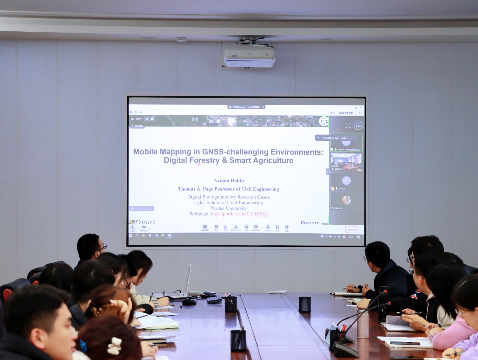
Ayman F. Habib 教授来山东科技大学测绘与空间信息学院作“Mobile Mapping Systems: Demonstrated Technology that Keeps Evolving”专题讲座(图)
山东科技大学测绘与空间信息学院 交通运输管理 遥感学会
2022/8/29
2021年12月17日上午,由测绘与空间信息学院主办的智“绘”讲堂在J6第一会议室和434报告厅成功举办。本期智“绘”讲堂邀请到美国摄影测量与遥感学会(ASPRS)和加拿大地球空间信息学会(CIG)会员、美国普渡大学土木工程学院教授、数字摄影测量课题组组长、首席科学家Ayman F. Habib教授作了题为“Mobile Mapping Systems: Demonstrated Technolo...
中国地质大学科学技术发展院刘鹏等环境学院. Analytical Chemistry (2019). A Method for Redox Mapping by Confocal Micro-X-Ray Fluorescence Imaging: Using Chromium Species in a Biochar Particle as an Example
描绘;固体颗粒元素;不同形态;价态;空间;分布;提供;新思路
2021/10/20
2019年3月,环境学院刘鹏教授团队与加拿大滑铁卢大学及美国先进光源中心研究人员的研究成果―A Method for Redox Mapping by Confocal Micro-X-ray Fluorescence Imaging: Using Chromium Species in a Biochar Particle as an Example 发表在国际知名环境期刊《Analytical...
THE SUITABILITY OF TERRESTRIAL LASER SCANNING FOR BUILDING SURVEY AND MAPPING APPLICATIONS
Terrestrial Laser Scanning Handheld Mobile Laser Scanning Building Survey Mapping
2019/3/4
The popularity of Terrestrial Laser Scanner (TLS) has been introduced into a field of surveying and has increased dramatically especially in producing the 3D model of the building. The used of terrest...
UAV FOR MAPPING HISTORIC BUILDINGS: FROM 3D MODELLING TO BIM
cultural heritage UAV photogrammetry HBIM
2019/3/2
Preventive actions of cultural heritage continuously emerge in order to preserve the identity of the respective civilizations, retain its cultural significance and ensure its accessibility to present ...
HIGH QUALITY TEXTURE MAPPING PROCESS AIMED AT THE OPTIMIZATION OF 3D STRUCTURED LIGHT MODELS
Texture Mapping Structured Light Scanning Restoration 3D Visualization
2019/3/2
This article presents the evaluation of a pipeline to develop a high-quality texture mapping implementation which makes it possible to carry out a semantic high-quality 3D textured model. Due to geome...
FAST INDOOR MAPPING TO FEED AN INDOOR DB FOR BUILDING AND FACILITY MANAGEMENT
3D Survey Mobile Mapping System SLAM Laser Scanner Spherical Images Point Cloud Facility Management
2019/3/1
Facility Management activities require to collect and organize a large amount of information about a building as, for example, geometry, MEP structures, lighting and antifire devices, typologies of fu...
UAV PHOTOGRAMMETRY FOR CULTURAL HERITAGE PRESERVATION MODELING AND MAPPING VENETIAN WALLS OF BERGAMO
Venetian Fortress of Bergamo photogrammetric survey
2019/2/28
In July 2017, the system of Bergamo City Walls was registered in the UNESCO World Heritage List, together with other Venetian fortresses in Italy, Croatia and Montenegro. This important historical doc...
LANDSLIDE HAZARD ZONATION MAPPING OF CHAMOLI LANDSLIDES IN REMOTE SENSING AND GIS ENVIRONMENT
Landslides Chamoli Remote Sensing Hazard, Himalaya
2019/2/27
Landslides are very common problem in hilly terrain. Chamoli region of Himalaya is highest sensitive zone of the landslide hazards. The purpose of Chamoli landslide study, to observe the important ter...
MAPPING OF FOREST FIRE BURNED SEVERITY USING THE SENTINEL DATASETS
Sentinel Forest fire NBR dNBR RBR
2019/2/27
Forest fires are frequent phenomena in Uttarakhand Himalayas especially in the months of April to May, causing major loss of valuable forest products and impact on humans through the emissions and the...
PRELIMINARY INVESTIGATIONS ON FLOOD SUSCEPTIBILITY MAPPING IN ANKARA (TURKEY) USING MODIFIED ANALYTICAL HIERARCHY PROCESS (M-AHP)
Flood Mapping Susceptibility Hazard Risk Modified Analytical Hierarchy Process Ankara (Turkey)
2019/2/27
Susceptibility mapping for disasters is very important and provides the necessary means for efficient urban planning, such as site selection and the determination of the regulations, risk assessment a...
MODELING OF PARAMETERS FOR FOREST FIRE RISK ZONE MAPPING
Criteria Based Weight Risk Zonation Fire sensitivity Topographic map AHP
2019/2/27
Forest fire has been regarded as one of the major reasons for the loss of biodiversity and dreadful conditions of environment. Global warming is also increasing the incidence of forest fire at an alar...
MAPPING OF STRIP FOREST IN ADAMPUR RANGE (HARYANA) A GEO-INFORMATICS APPROACH
Strip Forest Forest Mapping Social Forestry HRS - WV Smart GIS Decision Support System
2019/2/27
Haryana state is an intensively cultivated state, and deficient in natural forests. One of the mandate of Haryana Forest Department (HFD) is to afforest for maintenance of environmental stability and ...
MAPPING RICE CROPPING SYSTEM IN THE LOWER GANGETIC PLAIN USING LANDASAT 8 (OLI) AND MODIS IMAGERY
Department of Geography and Environment Vidyasagar University Midnapore India
2019/2/27
The Indo-Gangetic basin is one of the productive rice growing areas in South-East Asia. Within this extensive flat fertile land, lower Gangetic basin, especially the south Bengal, is most intensively ...
ROAD NETWORK MAPPING USING AIRBORNE LiDAR DATA
Road Airborne Laser Scanning (ALS) Intensity
2019/2/28
The accurate, detailed and up-to-date road information is highly essential geo-spatial databases for transportation, smart city and other related applications. Thus, the main objective of this researc...