搜索结果: 1-7 共查到“测绘科学技术 Geoscience”相关记录7条 . 查询时间(0.031 秒)

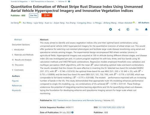
中国农业大学植物保护学院马占鸿教授团队在IEEE Transactions on Geoscience and Remote Sensing发表研究成果(图)
马占鸿 IEEE Transactions on Geoscience and Remote Sensing 小麦条锈病 遥感
2023/12/11
2017 IEEE国际地球科学与遥感研讨会(2017 IEEE International Geoscience and Remote Sensing Symposium)
2017 IEEE 国际地球科学与遥感 研讨会
2017/7/18
We are less than 2 months away from IGARSS 2017, and the conference is shaping up nicely. Our technical program is set and available for review, and we look forward to welcoming our speakers, paper au...
2017SPIE地球科学与遥感中的高性能计算专题会议(High-Performance Computing in Geoscience and Remote Sensing)
2017 SPIE 地球科学与遥感中的高性能计算 专题会议
2017/4/26
Advances in sensor technology with higher spatial, spectral and temporal resolutions are revolutionizing the way remote sensing data are collected, managed and processed. Latest-generation instruments...
2017年IEEE国际地球科学与遥感大会(2017 IEEE International Geoscience and Remote Sensing Symposium)
2017年 IEEE国际地球科学与遥感 大会
2017/3/10
We are pleased to host this exciting conference. We expect nearly 2,000 attendees from around the world, and our invited speakers, networking events and technical sessions offer something for everyone...
We are delighted to announce that the 2nd Virtual Geoscience Conference (VGC) will be held in Bergen, Norway, 22-23 September 2016. The conference theme is all about multidisciplinary collaboration, a...
EVALUATION OF GEOSCIENCE LASER ALTIMETER SYSTEM (GLAS) WAVEFORMS FOR VEGETATED LANDSCAPES USING AIRBORNE LASER ALTIMETER SCANNING DATA
LIDAR laser altimetry laser waveform analysis waveform simulations topography vegetation
2015/3/10
The Geoscience Laser Altimeter System aboard NASA’s Ice, Cloud and land Elevation Satellite will record the height distribution of laser energy reflected from surfaces within 70 m diameter footprints....
Remote Topographic Mapping for Geoscience.


